
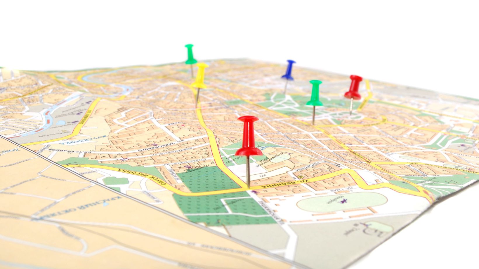
Geographic Information System (GIS) technology is essential for managing and maintaining infrastructure in the municipal sector. Municipalities are responsible for managing intricate utility networks, such as those for sewage, gas, electricity, and water. Proper mapping and effective management of these systems are critical to seamless operations and public safety. Utility mapping software is useful in situations like this.
Importance of GIS in Municipal Utility Mapping
Using GIS (Geographic Information System) is essential to municipal utility management. It assists local governments in efficiently planning, supervising, and maintaining their infrastructure, which includes sewage, gas, power, and water systems. Cities may use geographic information systems (GIS) to arrange enormous volumes of geographic data and use that information to make cost- and service-cutting decisions.
Managing Municipal Utilities with GIS
A comprehensive perspective of municipal utilities is provided by GIS, which unifies multiple data sources into a single system. City planners and engineers are able to view utility networks, evaluate their state, and pinpoint places that require maintenance thanks to this connection. GIS, for instance, may map out the locations of gas and water lines, indicating where new infrastructure can be built or where maintenance is needed.
Planning and Maintaining Infrastructure
Planning with a Geographic Information System (GIS) guarantees that cities can create and maintain their systems effectively. By offering precise geographic data, GIS helps planners avoid existing structures and minimize disturbances when constructing new utility networks. When it comes to maintenance, GIS can keep track of the age and state of infrastructure parts, which makes it simpler to plan for prompt replacements and repairs and helps to avoid expensive breakdowns.
Benefits of Precision Utility Mapping
Precision utility mapping is a key benefit of using GIS in municipal projects. By accurately mapping underground utilities, municipalities can avoid costly errors and enhance safety.

For instance, precise maps prevent accidental damage during excavation, which can disrupt services and require expensive repairs. Additionally, precise mapping ensures that all utility information is up-to-date, facilitating better coordination among different municipal departments.
Key Features of GIS Utility Mapping Software
Real-Time Data Access
GIS utility mapping software provides real-time data access, which significantly enhances decision-making. With up-to-date information, municipalities can quickly assess situations and respond effectively. The integration of various data sources, such as satellite imagery, sensor data, and field reports, allows for a comprehensive analysis of utility networks. This holistic view enables better planning, maintenance, and management of municipal utilities, ensuring efficient and effective operations.
Accurate Surveying and Data Collection
Accurate data collection is crucial for utility mapping, and GIS excels in this area by utilizing advanced technologies like LiDAR (Light Detection and Ranging) and photogrammetry. LiDAR offers high-precision 3D mapping by emitting laser pulses and measuring their reflections. Photogrammetry, on the other hand, uses photographs to create detailed maps. Together, these technologies ensure that the GIS data is exceptionally accurate, leading to better utility mapping and planning. This accuracy helps municipalities avoid costly errors and ensures that all utility lines are precisely located.
Enhanced Responsiveness and Efficiency
GIS significantly improves responsiveness during emergencies and routine maintenance. With real-time data and accurate mapping, municipal workers can quickly locate issues and address them efficiently. The integration of GIS with other systems streamlines communication and coordination among different departments, reducing response times. This increased efficiency not only enhances the overall performance of municipal services but also improves customer satisfaction. Utilizing advanced features of underground utility mapping software, municipalities can ensure that all utilities are well-managed and maintained, reducing the likelihood of service disruptions and ensuring a more reliable infrastructure.
Benefits of GIS Utility Mapping for Municipal Projects
Better Planning and Decision-Making
GIS greatly enhances the planning stages of municipal projects. By providing accurate geographic data, GIS allows city planners to visualize and analyze various factors before starting any project. This advanced insight helps in creating more efficient and effective plans.
Using GIS, project timelines can be more accurately estimated. Planners can foresee potential obstacles and adjust schedules accordingly, leading to fewer delays. Cost estimation also benefits from GIS data, as it offers a clearer picture of the resources needed, preventing unexpected expenses. Additionally, GIS aids in resource allocation by identifying the best locations for utilities, ensuring optimal use of available resources.
Environmental Impact Mitigation
Assessing and mitigating environmental impacts is a crucial aspect of municipal projects. GIS plays a vital role in this process by providing detailed environmental data. Planners can use GIS to predict and evaluate the effects of their projects on the surrounding environment.
For instance, GIS can help identify areas prone to flooding, enabling planners to design projects that minimize water-related risks. It also assists in monitoring pollution levels and preserving natural habitats. By incorporating environmental considerations into the planning process, GIS ensures that development is sustainable and eco-friendly.
Cost Management and Efficiency
One of the significant benefits of using GIS for utility mapping is the potential for cost savings. GIS provides a centralized database that stores all relevant project information, making it easily accessible to all stakeholders. This streamlined access to data reduces the time and effort required for planning and execution.
Moreover, GIS helps prevent costly reworks by offering precise data from the outset. Accurate initial planning means fewer mistakes and less need for corrections later. GIS also aids in efficient project management by tracking progress and identifying issues early, leading to timely solutions and avoiding delays.
How PointMan Enhances Municipal Utility Mapping
PointMan is a leading GIS utility mapping software, renowned for its advanced features and exceptional performance in municipal projects. Designed to address the specific needs of municipalities, PointMan offers a comprehensive solution for managing and mapping underground utilities with precision.
PointMan stands out due to its robust and unique features that make it ideal for municipal utility mapping:
- Real-Time Data Access: PointMan provides real-time data access, allowing municipal workers to make informed decisions quickly. This feature enables seamless integration of various data sources, ensuring that all stakeholders have up-to-date information at their fingertips.
- Accurate Surveying: Utilizing state-of-the-art technologies like LiDAR and photogrammetry, PointMan ensures precise and accurate data collection. This capability is crucial for precision utility mapping, helping municipalities plan and execute projects with high accuracy.
- Enhanced Efficiency: PointMan significantly boosts operational efficiency. Its user-friendly interface and powerful data management tools streamline workflows, reduce response times during emergencies, and improve overall productivity. Municipal workers can easily locate and manage utility lines, reducing downtime and operational costs.
With these features, PointMan’s utility mapping software excels in providing a reliable and efficient solution for municipal utility mapping. Its ability to deliver accurate, real-time data and enhance operational efficiency makes it a valuable tool for municipalities.